Geographic Information System when combined with Fligen Systems drones gives way to the latest and ingenious tool to manage and analyze spatial data. The combination of GIS and our drones help in having various kinds of data in one single map.
From mapping an area to find encroachments to mapping geographic changes over an area, Fligen Systems provides the best service and support.
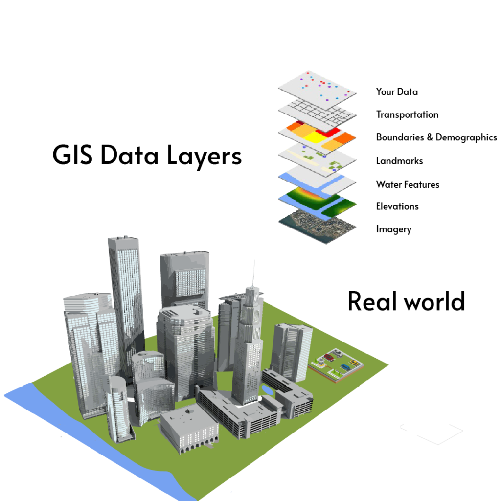
Using GIS and UAV,
A unified data map can be achieved with different layers stored in it.
Location and different attributes can be linked in one single framework.
Various analyses such as environmental impact, disaster management, natural resources management.
Team Fligen understands the requirements, analyzes the data, and ensures the optimum solution is delivered along with future assistance