Survey and mapping with drones is the new present and with Fligen Systems, you can generate Orthomosaic, 3D Model, Plant health model, DEM, DSM, DTM, and Contour lines.
With the survey data, we help you identify encroachments in your area, volume measurements of assets, land management and planning, stockpile measurements
Sometimes, it is difficult to have the output file in the desired format but with Fligen Systems you can get the result of the survey & mapping in PDF, PNG, JPEG, and Geotiff format.
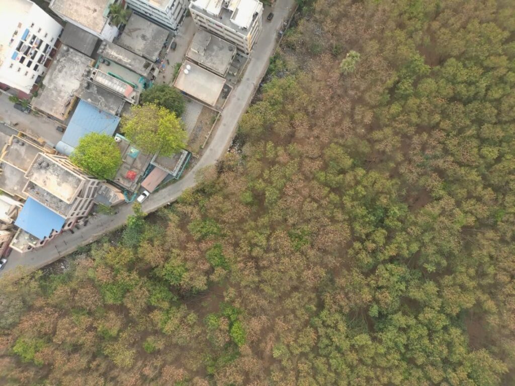
Orthomosaic
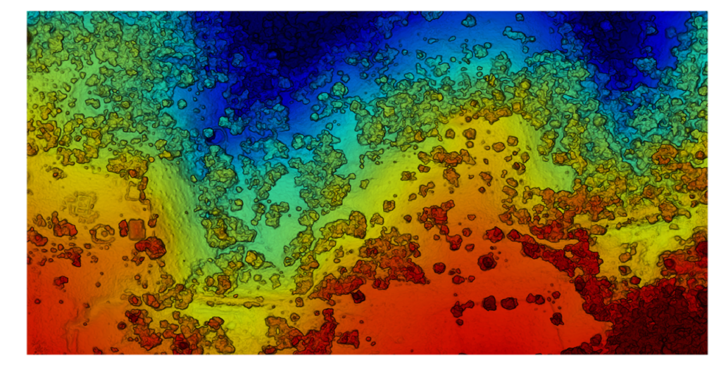
DEM
DTM
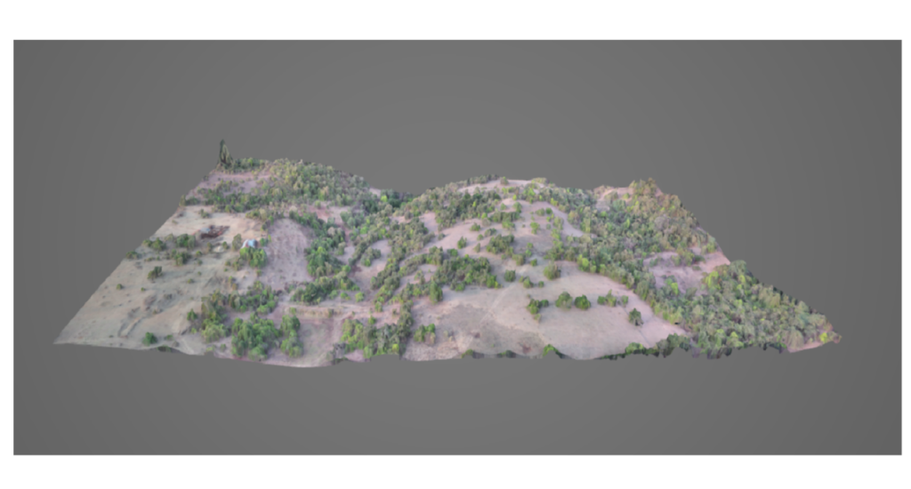
3D Model
The DSM (Digital Surface Model) can be used for land planning, land visualizations, structure planning. The DEM (Digital Elevation Model) and DTM (Digital Terrain Model) can be used to analyze the terrain, study mass flow movement. The 3D model can be used for height measurements, 3D representations of buildings, construction progress reports.
We, at Fligen Systems, offer the most time-efficient service for survey and mapping and support you for all your needs and requirements.